Last night at dinner we saw a couple several tables away who we thought were walking the Tour du Mont Blanc. They looked to be around our age. As we left the hotel this morning, their huge suitcases were being picked up to be transported ahead. They were having breakfast and then would take the shuttle to Notre Dame de la Gorge (skipping 2.5 miles). I mention this only because we saw them later in the day and spoke briefly with them; our destinations were the same Refuge des Mottets.
We headed out on a beautiful morning about 8 am for Notre Dame de la Gorge and it was a gentle start as noted above.


We enjoyed the sound of the river running nearby, passed through the park and camping area and arrived at Notre Dame de la Gorge.


Stoney did not join me. He was interested in a group of students and learned they were from a college in Oxford, England. He spoke with one of the professors (except they are not addressed in this manner by the students. Students call the professor by his first name).
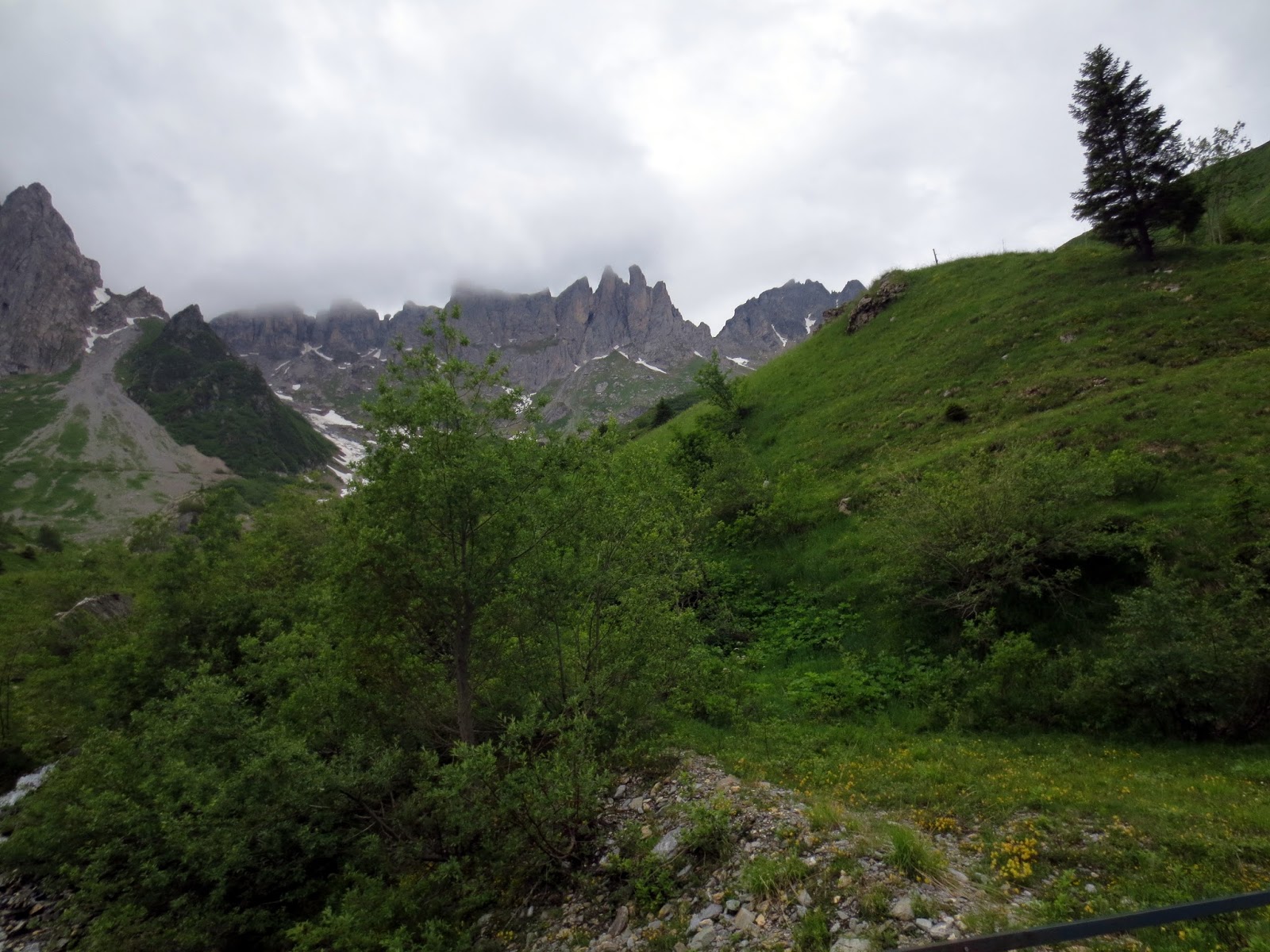
It was at this point that as the description above mentions - the path turned upward ... and upward and it was good-bye to "gentle."

Looking back at the college students who have begun the climb and would eventually pass us.

Still upwards on the old Roman Road ....a 4x4 passed us. Of course, Stoney chats with him.

Stoney begins to walk and chat with one of the professors who is in exercise physiology; this trip is part of the curriculum. Students keep track of their heart rates, take notes and at the end various tests will be done to see if this trek has made them stronger.


 |
| Roman Bridge |

 |
| Looking at a waterfall just down from the bridge |


and, thankfully, arrive at a bit of a flat spot where cattle graze in the upper valley meadows

It's not level for long but we enjoy the reprieve as we look ahead; yep we're going up there...


There was a bench here and we took a little break (about 5 minutes). We could have filled our water bottles here.

and upwards


LaBalme up ahead. See the college students on the trail up ahead leaving after their break.

We had a Coke here and sat to rest for about 10 minutes. This local man married a Vietnamese woman and lives in Vietnam most of the year. He comes back to open this small refuge/restaurant for the short season.


Looking back down the trail at where we had come from early in the morning and we're still headed up ....


Looking back down always amazes me


The Plan de Dame (pile of stones) - said to be the spot where an English woman perished

Elevation 6,702 feet. We began the day at 3,800 feet.

Still smiling but it's an effort ....

the trail


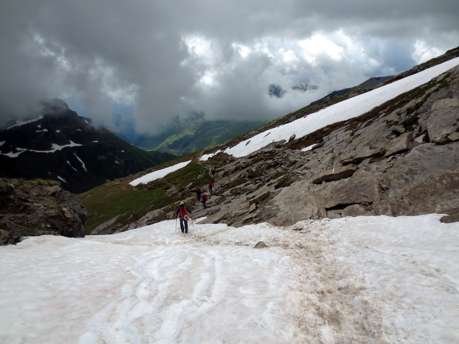
Little did we know at this point that we would encounter our first snow crossing just ahead

It was a bit frightening because we could not see any trail markings. We found boot prints and followed them ... hoping


Looking back down to the first snow patch we crossed

That's Stoney ahead; he wants to get to the top!


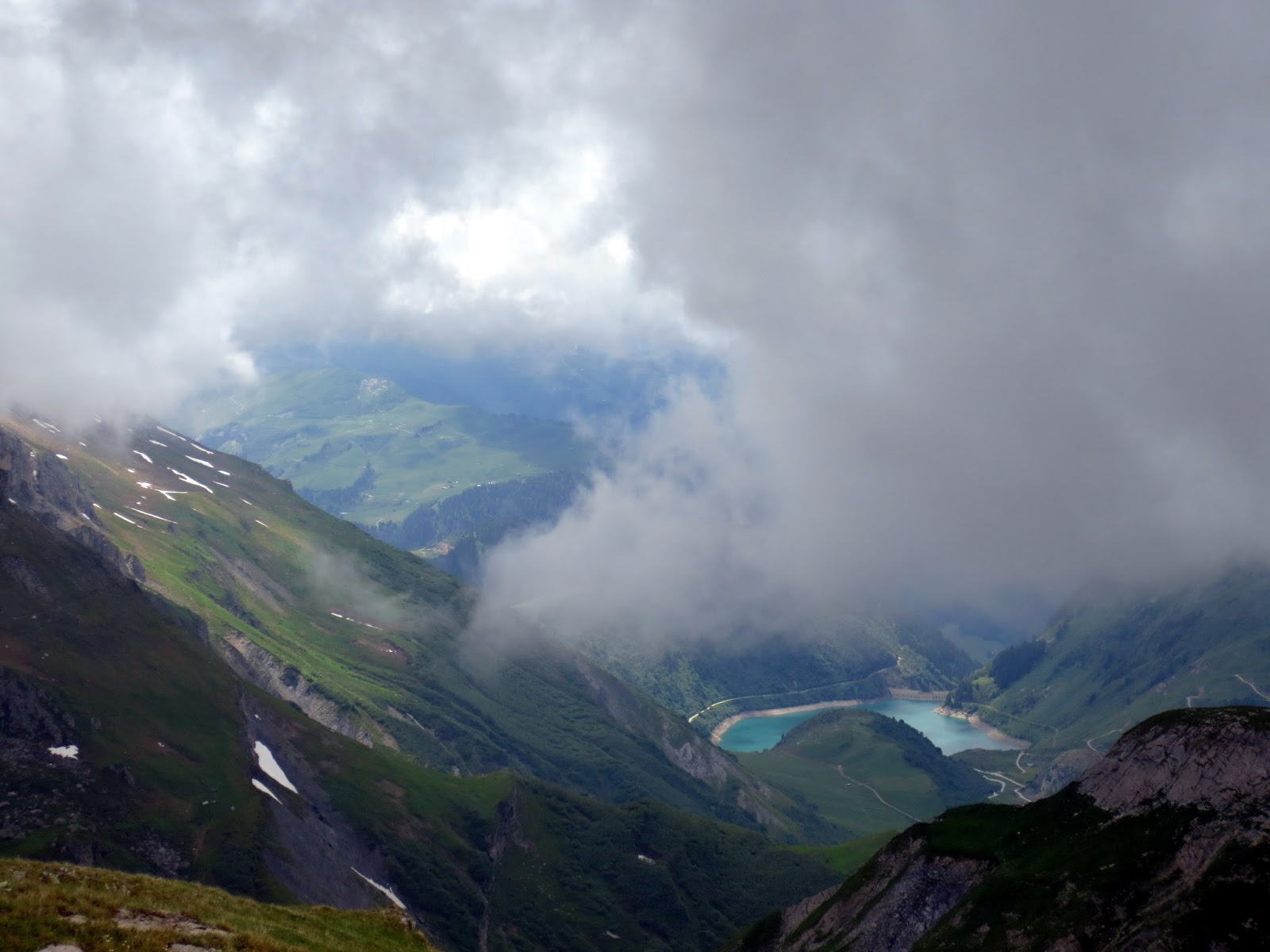
Looking down at a beautiful lake as we continue up; the clouds cleared for this view!

Another snow crossing up ahead

Stoney ventures forth - our trekking poles really helped us.

He makes it and waits for me ....

Guys headed in the opposite direction pass me. I guess it was good to be heading up rather than down; it was slushy and slippery.
The summit of Col de la Croix du Bonhohomme at 8,146 ft.

and we begin to head down, down, down


Back out - the weather is clearing - we are now headed for Les Chapieux where we hope to get a ride to Refuge des Mottets. The English professors and their students were headed to Les Chapieux for the night. They do the trip every year and know the manager. They thought he could drive us to Refuge des Mottets. Here's hoping ....


Could that be the Auberge de la Nova at Les Chapieux?

YES!!!! Thank God! These are the professors leading the students from England. They had arranged a ride for us to Refuge des Mottets.

The drive was probably 10-15 minutes on a narrow winding dirt road. Not sure I could have made it walking.

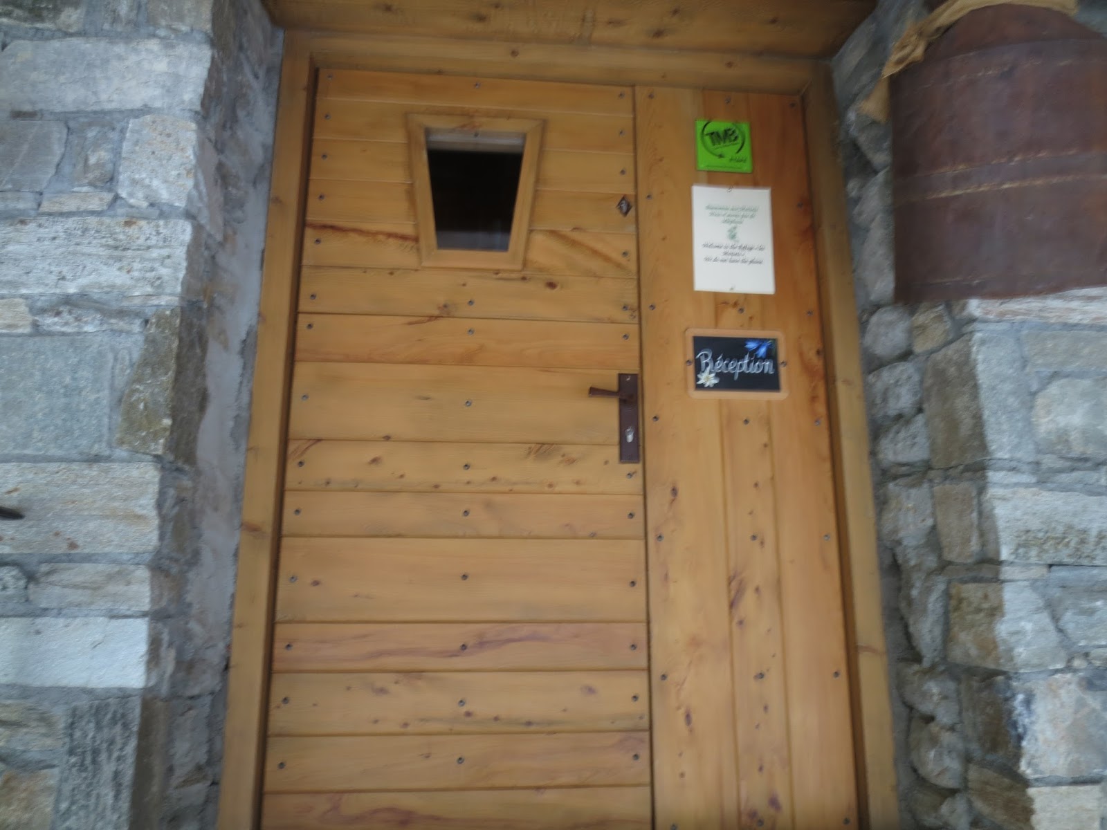
Front door
Dorm building

What a view

Our private room was in this building

 |
| Such a sweet refuge for the night. We had to hurry and shower because dinner was to be served in 30 minutes. |


Our window with a view
A better picture of the dorm building; we didn't go inside so I don't know how many beds

Our dinner companions as well as breakfast -- two Israeli navy men and a man from Spain who was running the complete Tour du Mont Blanc in 8 days. All three took the high route that we avoided and said it was very frightening. There was so much snow on the trail that they had difficulty seeing the trail and the wind, snow and sleet didn't help. They all fell numerous times. SO GLAD we made the decision not to go that route even if it meant having to take a ride for a short distance.

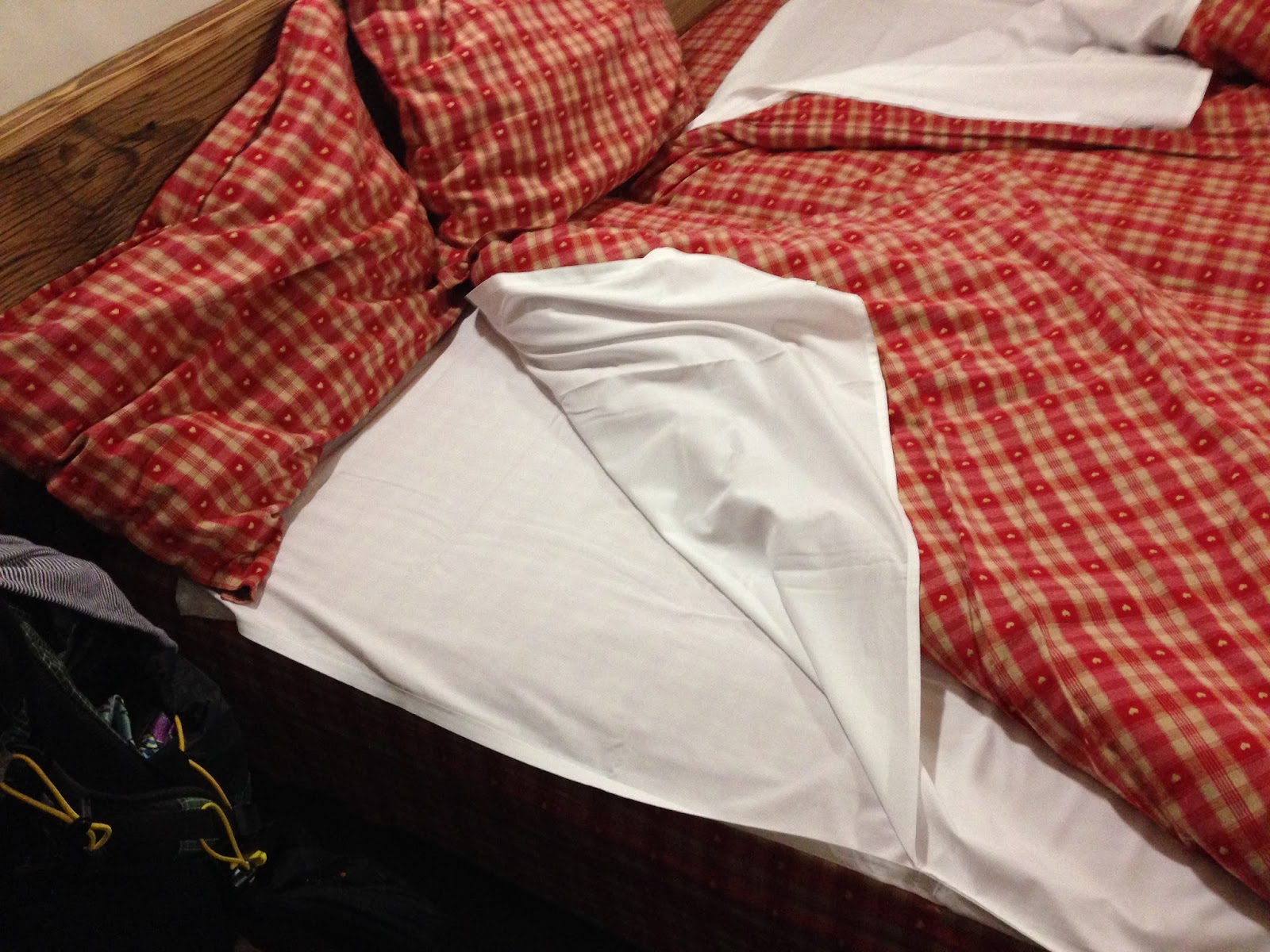
After dinner we went straight to bed. This is a sheet made like a sleeping bag. Nice. The down comforter was very warm.
Stoney prepares his pack for the morning ....

No comments:
Post a Comment
Please leave a message for us. If you have question or comment, I'll do my best to respond.